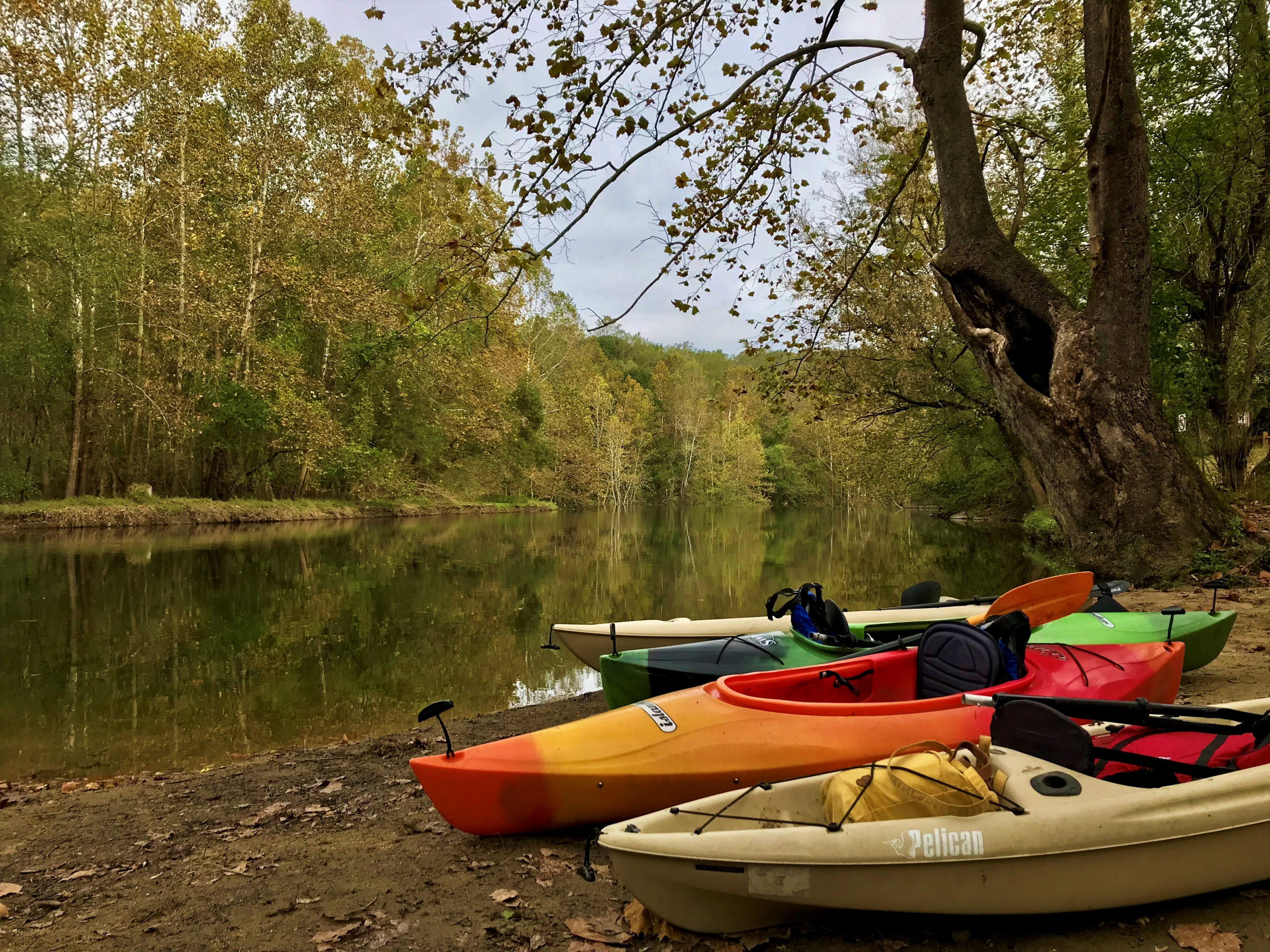
Paddling the Patapsco
The Patapsco is quickly becoming one of the most popular put in spots for Maryland Paddlers! The river boasts breathtaking views as it winds its way southeast towards the Baltimore Inner Harbor. Paddlers will find their path draped on either side by the thick canopy of trees dotted with age old sycamores. With numerous put in spots throughout the river valley, you can choose a variety of lengths and difficulties to paddle. Some stretches will have long smooth rides on slow water such as at the Daniels area, while others are more challenging like the waters at main street Ellicott City. Here are a couple basic things to keep in mind when setting out to paddle the Patapsco!
Dress for the Weather
Paddling conditions on the Patapsco change dramatically throughout the year, what might be perfect one time out could be a disaster another. When you are paddling in cooler months keep in mind that you will likely get wet during your trip, and hypothermia is a serious concern. Water temps in the Patapsco often remain below hypothermic levels into June. Sunlight is also a key factor and it is easy to sunburn while on the water, even in cooler months or cloudy days.
Plan Your Endpoints
This may seem obvious, but planning where you will launch from and where you will end your trip can make all the difference for your enjoyment and safety. While some stretches of the Patapsco have very little current to worry about, most will have a significant pull on your boat. It is difficult to account for how hard it is paddling upstream until you are out in the water, so planning ahead is key to keep your path manageable. If possible, it is smart to start your trip going upstream, that way the return to your launch point is always easier than the trip out. Another option to avoid this is to arrange for a second location as a takeout spot downstream.
Another thing to keep in mind is that some sections of the Patapsco may be impassible to paddlers, particularly those new to the sport. Several points are impassible to all, such as the Daniels Dam, while others may fluctuate with different water levels. An excellent resource for checking the river level before your trip is the USGS survey stations website, which provides up to date data to the public:
Hollofield Survey Station: https://waterdata.usgs.gov/md/nwis/uv?site_no=01589000
Catonsville Survey Station: https://waterdata.usgs.gov/nwis/uv/?site_no=01589025&agency_cd=USGS
Elkridge Survey Station: https://waterdata.usgs.gov/nwis/uv/?site_no=01589025&agency_cd=USGS
Wear a Life Jacket
This point may be the simplest, but its also the most important. Always wear a life jacket when paddling the Patapsco. This applies to everyone regardless of experience, age, or fitness. No paddler can account for every variable on the water, and the life jacket can save your life even in worst case scenarios. Make sure your life jacket is certified, and fitting properly before every launch.
Check out Paddling.com for additional tips on water safety!
Highlighted Route: North from Daniels Boat Launch
There are many options for places to put in a kayak along the Patapsco, we chose to go from a popular spot in the Daniels area of PVSP. The Daniels area has a convenient hand launch spot for kayakers and canoers. This launch is located just upstream of a small dam, creating a calm and deep stretch of the river to start off. Heading upstream from this point the river stays rather wide for a stretch, limiting the pull of the current for some time. As you pass the second bend, you will notice the water gets noticeably shallower and picks up a bit of speed. The further you go from this point will be more tiring as you fight the current but of course the paddle back will be nice and relaxing.
